 vesseltracker.com
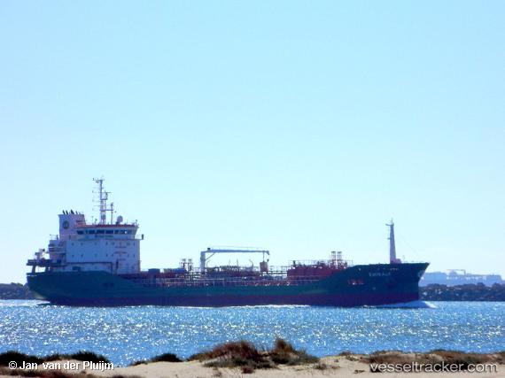
 EMIRALP
Current Status
Where is the vessel?
EMIRALP is currently in Near Pornichet, based on AIS data received about 2h ago.
Latest AIS update:
Current position: 47.13189° N, 2.43134° W (Near Pornichet)
Average speed (last 7 days): Loading…
Average speed (last 30 days): Loading…
Vessel profile: EMIRALP is a Tanker with dimensions m x m.
This page combines live AIS, route history, probable destination signals, nearby traffic, and port activity for practical vessel monitoring.
The current position of vessel EMIRALP is 47.13189 lat / -2.43134 lng. Updated: 2026-03-26 20:09:28 UTCNearest reference points:
- 12 nm S of Saint-Céols
- 13 nm S of Saint-Céols
- Near LE CROISIC
Currently sailing under the flag of Malta ![]()
Details:
Live Vessel EMIRALP Analytics (details, animations, etc.)
Recent AIS points (UTC):
2026-03-26 13:57:26 UTC · 47.13215, -2.43014 · SOG 0.2 kn · COG 318°2026-03-26 15:45:30 UTC · 47.13260, -2.42968 · SOG 0 kn · COG 296°
2026-03-26 18:15:26 UTC · 47.13276, -2.42994 · SOG 0 kn · COG 317°
2026-03-26 20:09:28 UTC · 47.13189, -2.43134 · SOG 0.1 kn · COG 0°