 vesseltracker.com
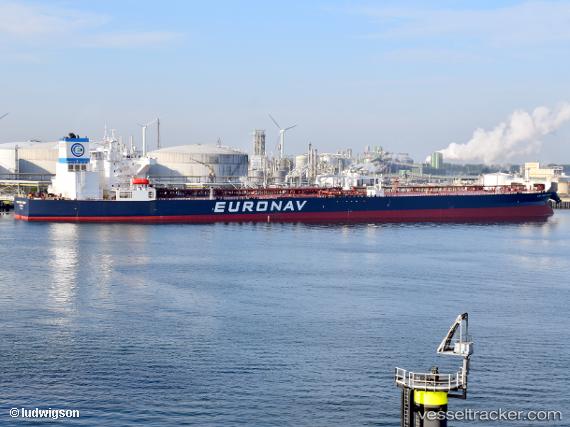
 Cap Port Arthur
Current Status
Where is the vessel?
Cap Port Arthur is currently in Near Barcadera, based on AIS data received less than 1h ago.
Latest AIS update:
Current position: 12.36755° N, 70.09119° W (Near Barcadera)
Average speed (last 7 days): Loading…
Average speed (last 30 days): Loading…
Vessel profile: Cap Port Arthur is a Crude Oil Tanker with dimensions 277m x 277m.
This page combines live AIS, route history, probable destination signals, nearby traffic, and port activity for practical vessel monitoring.
The current position of vessel Cap Port Arthur is 12.36755 lat / -70.09119 lng. Updated: 2026-04-02 23:47:57 UTCNearest reference points:
- 24 nm NW of Palm Beach
- Near Las Piedras
- Near Bullenbaai
Currently sailing under the flag of Greece ![]()
Details:
Live Vessel Cap Port Arthur Analytics (details, animations, etc.)
Recent AIS points (UTC):
2026-04-02 17:59:59 UTC · 12.36785, -70.09114 · SOG 0 kn · COG 106°2026-04-02 19:57:01 UTC · 12.36779, -70.09116 · SOG 0 kn · COG 105°
2026-04-02 22:09:01 UTC · 12.36776, -70.09118 · SOG 0 kn · COG 105°
2026-04-02 23:47:57 UTC · 12.36755, -70.09119 · SOG 0.1 kn · COG 102°