 vesseltracker.com
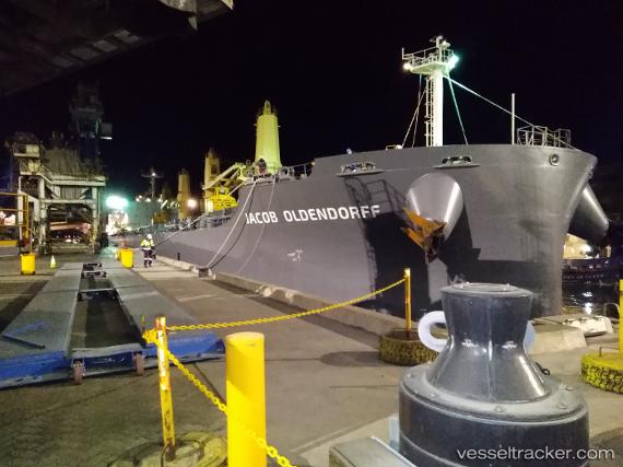
 JACOB OLDENDORFF
Current Status
Where is the vessel?
JACOB OLDENDORFF is currently in Near Mayne Island, based on AIS data received about 2h ago.
Latest AIS update:
Current position: 48.79454° N, 123.22799° W (Near Mayne Island)
Average speed (last 7 days): Loading…
Average speed (last 30 days): Loading…
Vessel profile: JACOB OLDENDORFF is a Cargo with dimensions m x m.
This page combines live AIS, route history, probable destination signals, nearby traffic, and port activity for practical vessel monitoring.
The current position of vessel JACOB OLDENDORFF is 48.79454 lat / -123.22799 lng. Updated: 2026-04-14 21:46:35 UTCNearest reference points:
- Near GANGES
- Near Deer Harbor
- Near Salt Spring Island
Currently sailing under the flag of Liberia ![]()
Details:
Live Vessel JACOB OLDENDORFF Analytics (details, animations, etc.)
Recent AIS points (UTC):
2026-04-14 15:43:35 UTC · 48.79439, -123.22976 · SOG 0.2 kn · COG 151°2026-04-14 17:58:37 UTC · 48.79462, -123.22815 · SOG 0.3 kn · COG 197°
2026-04-14 19:28:36 UTC · 48.79463, -123.22782 · SOG 0.2 kn · COG 200°
2026-04-14 21:46:35 UTC · 48.79454, -123.22799 · SOG 0.3 kn · COG 203°