 vesseltracker.com
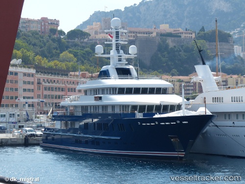
Bella Vita
Current StatusWhere is the vessel?
Bella Vita is currently in Near LA PAZ, based on AIS data received about 3h ago.
Latest AIS update:
Current position: 24.21776° N, 110.30543° W (Near LA PAZ)
Average speed (last 7 days): Loading…
Average speed (last 30 days): Loading…
Vessel profile: Bella Vita is a Service Ship with dimensions 12m x 75m.
This page combines live AIS, route history, probable destination signals, nearby traffic, and port activity for practical vessel monitoring.
The current position of vessel Bella Vita is 24.21776 lat / -110.30543 lng. Updated: 2026-04-10 07:54:07 UTCNearest reference points:
- Near LA PAZ
- Near LA PLAYA
- Near San Jose del Cabo
Details:
Live Vessel Bella Vita Analytics (details, animations, etc.)
Recent AIS points (UTC):
2026-04-10 01:20:55 UTC · 24.21778, -110.30541 · SOG 0 kn · COG 234°2026-04-10 03:36:02 UTC · 24.21777, -110.30541 · SOG 0 kn · COG 234°
2026-04-10 05:48:04 UTC · 24.21775, -110.30545 · SOG 0 kn · COG 235°
2026-04-10 07:54:07 UTC · 24.21776, -110.30543 · SOG 0 kn · COG 235°