 vesseltracker.com
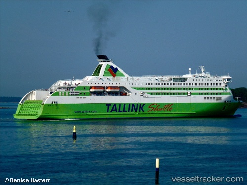
 JAMES JOYCE
Current Status
Where is the vessel?
JAMES JOYCE is currently in Near Dublin, based on AIS data received less than 1h ago.
Latest AIS update:
Current position: 53.34500° N, 6.19534° W (Near Dublin)
Average speed (last 7 days): Loading…
Average speed (last 30 days): Loading…
Vessel profile: JAMES JOYCE is a Ro-Ro/Passenger Ship with dimensions m x m.
This page combines live AIS, route history, probable destination signals, nearby traffic, and port activity for practical vessel monitoring.
The current position of vessel JAMES JOYCE is 53.34500 lat / -6.19534 lng. Updated: 2026-04-19 10:21:57 UTCNearest reference points:
- Near Dun Laoghaire
- Near HOWTH
- Near Skerries
Currently sailing under the flag of Cyprus ![]()
Details:
Live Vessel JAMES JOYCE Analytics (details, animations, etc.)
Recent AIS points (UTC):
2026-04-19 06:20:41 UTC · 53.31833, -4.61833 · SOG 0 kn · COG -1°2026-04-19 08:13:23 UTC · 53.36367, -5.44550 · SOG 17.9 kn · COG 267°
2026-04-19 09:57:52 UTC · 53.34383, -6.18383 · SOG 7.7 kn · COG 271°
2026-04-19 10:21:57 UTC · 53.34500, -6.19534 · SOG 0.1 kn · COG 270°