 vesseltracker.com
 OPTIMAR
Current Status
Where is the vessel?
OPTIMAR is currently in 26 nm SE of Hornefors, based on AIS data received less than 1h ago.
Latest AIS update:
Current position: 63.22015° N, 20.36880° E (26 nm SE of Hornefors)
Average speed (last 7 days): Loading…
Average speed (last 30 days): Loading…
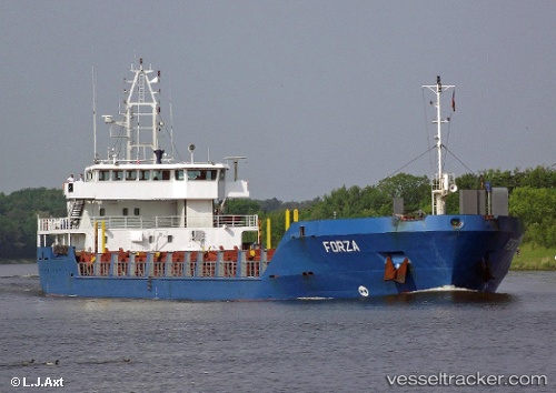
Vessel profile: OPTIMAR is a General Cargo Ship with dimensions 100m x 16m.
This page combines live AIS, route history, probable destination signals, nearby traffic, and port activity for practical vessel monitoring.
The current position of vessel OPTIMAR is 63.22015 lat / 20.36880 lng. Updated: 2026-04-09 06:07:58 UTCNearest reference points:
- 20 nm S of HOLMSUND
Currently sailing under the flag of Cyprus ![]()
OPTIMAR built in 2000 year
Deadweight:
4275 tDetails:
Live Vessel OPTIMAR Analytics (details, animations, etc.)
Recent AIS points (UTC):
2026-04-08 23:25:46 UTC · 63.88625, 21.90140 · SOG 9.3 kn · COG 230°2026-04-09 01:58:42 UTC · 63.64420, 21.22211 · SOG 9.1 kn · COG 232°
2026-04-09 04:16:50 UTC · 63.46281, 20.62760 · SOG 8.3 kn · COG 211°
2026-04-09 06:07:58 UTC · 63.22015, 20.36880 · SOG 9 kn · COG 193°