 vesseltracker.com
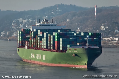
 Le Havre
Current Status
Where is the vessel?
Le Havre is currently in 39 nm S of São Vicente, based on AIS data received about 1h ago.
Latest AIS update:
Current position: 24.57352° S, 46.59177° W (39 nm S of São Vicente)
Average speed (last 7 days): Loading…
Average speed (last 30 days): Loading…
Vessel profile: Le Havre is a Container Ship with dimensions 337m x 45m.
This page combines live AIS, route history, probable destination signals, nearby traffic, and port activity for practical vessel monitoring.
The current position of vessel Le Havre is -24.57352 lat / -46.59177 lng. Updated: 2026-03-31 07:45:45 UTCNearest reference points:
- 36 nm S of Guarujá
- Near Guarujá
- Near Santos
Currently sailing under the flag of Cyprus ![]()
Le Havre built in 2006 year
Deadweight:
111737 tDetails:
Live Vessel Le Havre Analytics (details, animations, etc.)
Recent AIS points (UTC):
2026-03-31 01:25:05 UTC · -23.96670, -46.29144 · SOG 0 kn · COG 318°2026-03-31 04:06:55 UTC · -23.96779, -46.29258 · SOG 2.1 kn · COG 336°
2026-03-31 05:41:24 UTC · -24.17038, -46.39533 · SOG 13.5 kn · COG 188°
2026-03-31 07:45:45 UTC · -24.57352, -46.59177 · SOG 14 kn · COG 231°