 vesseltracker.com
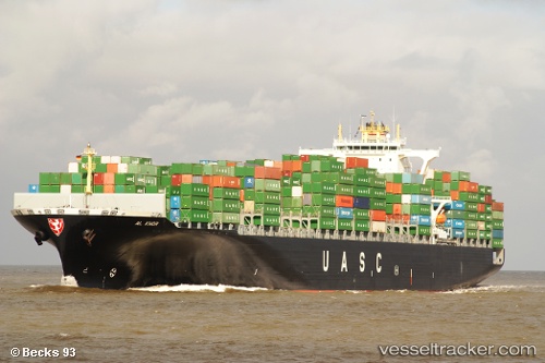
 GFS GALAXY
Current Status
Where is the vessel?
GFS GALAXY is currently in Near KHORFAKKAN, based on AIS data received less than 1h ago.
Latest AIS update:
Current position: 25.35662° N, 56.36380° E (Near KHORFAKKAN)
Average speed (last 7 days): Loading…
Average speed (last 30 days): Loading…
Vessel profile: GFS GALAXY is a Container Ship with dimensions m x m.
This page combines live AIS, route history, probable destination signals, nearby traffic, and port activity for practical vessel monitoring.
The current position of vessel GFS GALAXY is 25.35662 lat / 56.36380 lng. Updated: 2026-04-19 11:49:20 UTCNearest reference points:
- Near KHORFAKKAN
- Near Fujairah
- Near Offshore Fujairah
Details:
Live Vessel GFS GALAXY Analytics (details, animations, etc.)
Recent AIS points (UTC):
2026-04-19 08:16:20 UTC · 25.35660, 56.36380 · SOG 0 kn · COG 151°2026-04-19 10:01:20 UTC · 25.35661, 56.36383 · SOG 0 kn · COG 151°
2026-04-19 10:10:23 UTC · 25.35665, 56.36381 · SOG 0 kn · COG 151°
2026-04-19 11:49:20 UTC · 25.35662, 56.36380 · SOG 0 kn · COG 151°