 vesseltracker.com
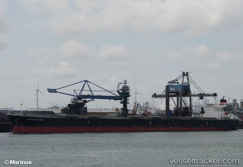
 CAPE MARY M
Current Status
Where is the vessel?
CAPE MARY M is currently in 26 nm S of Qisha Pt, based on AIS data received less than 1h ago.
Latest AIS update:
Current position: 21.15360° N, 108.43147° E (26 nm S of Qisha Pt)
Average speed (last 7 days): Loading…
Average speed (last 30 days): Loading…
Vessel profile: CAPE MARY M is a Bulk Carrier with dimensions 45m x 289m.
This page combines live AIS, route history, probable destination signals, nearby traffic, and port activity for practical vessel monitoring.
The current position of vessel CAPE MARY M is 21.15360 lat / 108.43147 lng. Updated: 2026-04-21 05:38:04 UTCNearest reference points:
- 22 nm SE of Dongxing
- 26 nm SE of Qisha Pt
- 36 nm NW of Pei-Hai
Currently sailing under the flag of Cyprus ![]()
CAPE MARY M built in 2004 year
Deadweight:
177325 tDetails:
Live Vessel CAPE MARY M Analytics (details, animations, etc.)
Recent AIS points (UTC):
2026-04-21 01:38:05 UTC · 21.15318, 108.43145 · SOG 0.1 kn · COG 169°2026-04-21 03:29:05 UTC · 21.15318, 108.43082 · SOG 0.1 kn · COG 155°
2026-04-21 04:17:03 UTC · 21.15332, 108.43100 · SOG 0.1 kn · COG 159°
2026-04-21 05:38:04 UTC · 21.15360, 108.43147 · SOG 0.1 kn · COG 168°