 vesseltracker.com
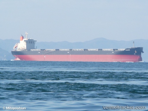
 KOULITSA 2
Current Status
Where is the vessel?
KOULITSA 2 is currently in 38 nm E of Slipi, based on AIS data received about 1h ago.
Latest AIS update:
Current position: 5.93949° N, 107.37622° E (38 nm E of Slipi)
Average speed (last 7 days): Loading…
Average speed (last 30 days): Loading…
Vessel profile: KOULITSA 2 is a Bulk Carrier with dimensions 221m x 221m.
This page combines live AIS, route history, probable destination signals, nearby traffic, and port activity for practical vessel monitoring.
The current position of vessel KOULITSA 2 is 5.93949 lat / 107.37622 lng. Updated: 2026-04-05 11:24:01 UTCNearest reference points:
- 36 nm SW of Slipi
- 46 nm E of Kakap Natuna Terminal
- 45 nm E of Kakap Natuna Terminal
Currently sailing under the flag of Cyprus ![]()
KOULITSA 2 built in 2013 year
Deadweight:
78129 tDetails:
Live Vessel KOULITSA 2 Analytics (details, animations, etc.)
Recent AIS points (UTC):
2026-04-05 05:53:30 UTC · 5.11821, 106.73574 · SOG 11.2 kn · COG 36°2026-04-05 07:54:02 UTC · 5.41149, 106.97691 · SOG 11.1 kn · COG 36°
2026-04-05 09:51:51 UTC · 5.70786, 107.19795 · SOG 11.2 kn · COG 37°
2026-04-05 11:24:01 UTC · 5.93949, 107.37622 · SOG 11.4 kn · COG 37°