 vesseltracker.com
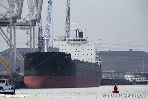
Lia M
Current StatusWhere is the vessel?
Lia M is currently in Near Pecém Pt/São Gonçalo do Amarante, based on AIS data received less than 1h ago.
Latest AIS update:
Current position: 3.52962° S, 38.79526° W (Near Pecém Pt/São Gonçalo do Amarante)
Average speed (last 7 days): Loading…
Average speed (last 30 days): Loading…
Vessel profile: Lia M is a Bulk Carrier with dimensions 32m x 235m.
This page combines live AIS, route history, probable destination signals, nearby traffic, and port activity for practical vessel monitoring.
The current position of vessel Lia M is -3.52962 lat / -38.79526 lng. Updated: 2026-04-18 22:06:31 UTCNearest reference points:
- 28 nm N of Pecém Pt/São Gonçalo do Amarante
- 81 nm N of Acarau
Details:
Live Vessel Lia M Analytics (details, animations, etc.)
Recent AIS points (UTC):
2026-04-18 15:39:35 UTC · -3.52964, -38.79527 · SOG 0 kn · COG 139°2026-04-18 18:24:31 UTC · -3.52963, -38.79525 · SOG 0.1 kn · COG 139°
2026-04-18 20:03:35 UTC · -3.52959, -38.79525 · SOG 0 kn · COG 139°
2026-04-18 22:06:31 UTC · -3.52962, -38.79526 · SOG 0 kn · COG 139°