 vesseltracker.com
 E NINE
Current Status
Where is the vessel?
E NINE is currently in Near Las Palmas, based on AIS data received about 4d ago.
Latest AIS update:
Current position: 28.15724° N, 15.40752° W (Near Las Palmas)
Average speed (last 7 days): Loading…
Average speed (last 30 days): Loading…
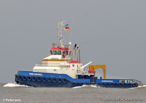
Vessel profile: E NINE is a Tug with dimensions m x m.
This page combines live AIS, route history, probable destination signals, nearby traffic, and port activity for practical vessel monitoring.
The current position of vessel E NINE is 28.15724 lat / -15.40752 lng. Updated: 2026-04-14 09:58:08 UTCNearest reference points:
- Near Las Palmas
- Near Las Palmas de Gran Canaria
- Near TALIARTE
Details:
Live Vessel E NINE Analytics (details, animations, etc.)
Recent AIS points (UTC):
2026-04-14 08:24:34 UTC · 28.15698, -15.40754 · SOG 0.1 kn · COG 3°2026-04-14 09:30:40 UTC · 28.15706, -15.40753 · SOG 0 kn · COG 4°
2026-04-14 09:58:08 UTC · 28.15724, -15.40752 · SOG 0 kn · COG -1°
2026-04-14 09:58:08 UTC · 28.15724, -15.40752 · SOG 0 kn · COG -1°