 vesseltracker.com
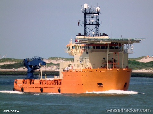
 GEOQUIP SAENTIS
Current Status
Where is the vessel?
GEOQUIP SAENTIS is currently in Near Tema, based on AIS data received less than 1h ago.
Latest AIS update:
Current position: 5.62816° N, 0.00742° E (Near Tema)
Average speed (last 7 days): Loading…
Average speed (last 30 days): Loading…
Vessel profile: GEOQUIP SAENTIS is a Multi Purpose Offshore Vessel with dimensions m x m.
This page combines live AIS, route history, probable destination signals, nearby traffic, and port activity for practical vessel monitoring.
The current position of vessel GEOQUIP SAENTIS is 5.62816 lat / 0.00742 lng. Updated: 2026-04-18 17:26:27 UTCNearest reference points:
- Near Ablogamé
- Near Sekondi
- Near Takoradi
Details:
Live Vessel GEOQUIP SAENTIS Analytics (details, animations, etc.)
Recent AIS points (UTC):
2026-04-18 11:35:26 UTC · 5.62814, 0.00742 · SOG 0 kn · COG 38°2026-04-18 13:24:09 UTC · 5.62667, 0.00667 · SOG 0 kn · COG -1°
2026-04-18 15:23:26 UTC · 5.62815, 0.00738 · SOG 0 kn · COG 37°
2026-04-18 17:26:27 UTC · 5.62816, 0.00742 · SOG 0 kn · COG 38°