 vesseltracker.com
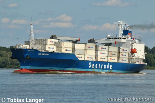
 SALERNO
Current Status
Where is the vessel?
SALERNO is currently in 168 nm SE of Aracaju, based on AIS data received about 1h ago.
Latest AIS update:
Current position: 12.54308° S, 34.61393° W (168 nm SE of Aracaju)
Average speed (last 7 days): Loading…
Average speed (last 30 days): Loading…
Vessel profile: SALERNO is a Reefer with dimensions m x m.
This page combines live AIS, route history, probable destination signals, nearby traffic, and port activity for practical vessel monitoring.
The current position of vessel SALERNO is -12.54308 lat / -34.61393 lng. Updated: 2026-04-13 05:49:00 UTCNearest reference points:
- 157 nm SE of Maceio
- Near Aracaju
- Near Barra dos Coqueiros
Details:
Live Vessel SALERNO Analytics (details, animations, etc.)
Recent AIS points (UTC):
2026-04-13 00:11:35 UTC · -11.14173, -34.11837 · SOG 15.8 kn · COG 197°2026-04-13 01:28:57 UTC · -11.46076, -34.22990 · SOG 15.6 kn · COG 198°
2026-04-13 04:12:09 UTC · -12.14025, -34.47149 · SOG 15.8 kn · COG 198°
2026-04-13 05:49:00 UTC · -12.54308, -34.61393 · SOG 15.9 kn · COG 200°