 vesseltracker.com
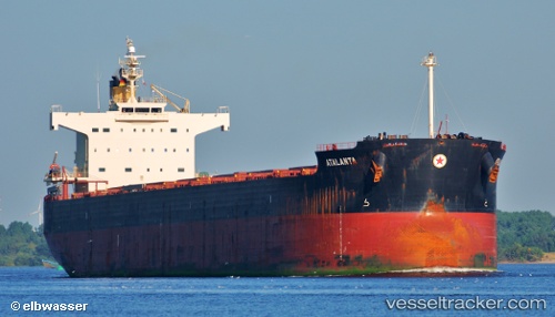
 M EXPLORER
Current Status
Where is the vessel?
M EXPLORER is currently in Near Taku Bar, based on AIS data received about 1h ago.
Latest AIS update:
Current position: 38.85185° N, 118.18069° E (Near Taku Bar)
Average speed (last 7 days): Loading…
Average speed (last 30 days): Loading…
Vessel profile: M EXPLORER is a Bulk Carrier with dimensions m x m.
This page combines live AIS, route history, probable destination signals, nearby traffic, and port activity for practical vessel monitoring.
The current position of vessel M EXPLORER is 38.85185 lat / 118.18069 lng. Updated: 2026-04-02 19:36:37 UTCNearest reference points:
- Near Taku Bar
- Near Dagu Bar
- 15 nm SE of Taku Bar
Details:
Live Vessel M EXPLORER Analytics (details, animations, etc.)
Recent AIS points (UTC):
2026-04-02 13:33:37 UTC · 38.85131, 118.18645 · SOG 0.1 kn · COG 267°2026-04-02 15:30:39 UTC · 38.85121, 118.18028 · SOG 0 kn · COG 85°
2026-04-02 17:20:46 UTC · 38.85166, 118.18038 · SOG 0 kn · COG 95°
2026-04-02 19:36:37 UTC · 38.85185, 118.18069 · SOG 0 kn · COG 121°