 vesseltracker.com
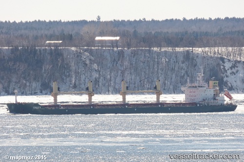
Cresty
Current StatusWhere is the vessel?
Cresty is currently in Near Salaverry, based on AIS data received about 1h ago.
Latest AIS update:
Current position: 8.22003° S, 79.01251° W (Near Salaverry)
Average speed (last 7 days): Loading…
Average speed (last 30 days): Loading…
Vessel profile: Cresty is a Bulk Carrier with dimensions 30m x 180m.
This page combines live AIS, route history, probable destination signals, nearby traffic, and port activity for practical vessel monitoring.
The current position of vessel Cresty is -8.22003 lat / -79.01251 lng. Updated: 2026-04-20 20:17:13 UTCNearest reference points:
- 81 nm SW of Chimbote
Details:
Live Vessel Cresty Analytics (details, animations, etc.)
Recent AIS points (UTC):
2026-04-20 16:38:14 UTC · -8.21999, -79.01220 · SOG 0.4 kn · COG 162°2026-04-20 18:17:10 UTC · -8.22030, -79.01219 · SOG 0.7 kn · COG 154°
2026-04-20 19:05:10 UTC · -8.22009, -79.01245 · SOG 0.4 kn · COG 162°
2026-04-20 20:17:13 UTC · -8.22003, -79.01251 · SOG 0.3 kn · COG 158°