 vesseltracker.com
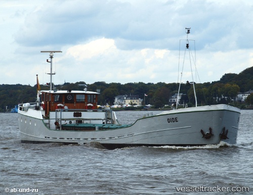
Dide
Current StatusWhere is the vessel?
Dide is currently in 16 nm NW of Cuxhaven, based on AIS data received less than 1h ago.
Latest AIS update:
Current position: 54.05987° N, 8.39008° E (16 nm NW of Cuxhaven)
Average speed (last 7 days): Loading…
Average speed (last 30 days): Loading…
Vessel profile: Dide is a General Cargo Ship with dimensions 7m x 40m.
This page combines live AIS, route history, probable destination signals, nearby traffic, and port activity for practical vessel monitoring.
The current position of vessel Dide is 54.05987 lat / 8.39008 lng. Updated: 2026-04-08 11:59:25 UTCNearest reference points:
- Near BUESUM
- 10 nm E of Wangerooge
- Near HOOKSIEL
Details:
Live Vessel Dide Analytics (details, animations, etc.)
Recent AIS points (UTC):
2026-04-08 05:58:26 UTC · 53.73564, 9.40283 · SOG 0 kn · COG -1°2026-04-08 08:01:46 UTC · 53.87616, 9.25898 · SOG 11.1 kn · COG -1°
2026-04-08 09:57:56 UTC · 53.89726, 8.70114 · SOG 11.3 kn · COG -1°
2026-04-08 11:59:25 UTC · 54.05987, 8.39008 · SOG 6.1 kn · COG -1°