 vesseltracker.com
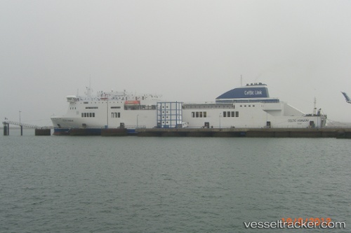
 STENA HORIZON
Current Status
Where is the vessel?
STENA HORIZON is currently in 42 nm W of Nica, based on AIS data received less than 1h ago.
Latest AIS update:
Current position: 56.30500° N, 19.81167° E (42 nm W of Nica)
Average speed (last 7 days): Loading…
Average speed (last 30 days): Loading…
Vessel profile: STENA HORIZON is a Ro-Ro/Passenger Ship with dimensions m x m.
This page combines live AIS, route history, probable destination signals, nearby traffic, and port activity for practical vessel monitoring.
The current position of vessel STENA HORIZON is 56.30500 lat / 19.81167 lng. Updated: 2026-04-22 09:22:45 UTCNearest reference points:
- 39 nm W of Pilies juru uosto PVP/Klaipeda
- Near Cimdenieki
- 10 nm NW of Svetlogorsk
Currently sailing under the flag of Cyprus ![]()
Details:
Live Vessel STENA HORIZON Analytics (details, animations, etc.)
Recent AIS points (UTC):
2026-04-22 04:28:09 UTC · 55.70501, 16.49578 · SOG 17.9 kn · COG 72°2026-04-22 07:35:52 UTC · 56.14464, 18.88891 · SOG 18.1 kn · COG 72°
2026-04-22 08:19:39 UTC · 56.21399, 19.26433 · SOG 18.2 kn · COG 75°
2026-04-22 09:22:45 UTC · 56.30500, 19.81167 · SOG 18 kn · COG -1°