 vesseltracker.com
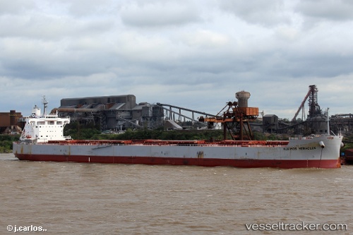
 ALKIMOS HERACLES
Current Status
Where is the vessel?
ALKIMOS HERACLES is currently in 183 nm SW of Tsiombe, based on AIS data received less than 1h ago.
Latest AIS update:
Current position: 27.58000° S, 43.21667° E (183 nm SW of Tsiombe)
Average speed (last 7 days): Loading…
Average speed (last 30 days): Loading…
Vessel profile: ALKIMOS HERACLES is a Cargo with dimensions m x m.
This page combines live AIS, route history, probable destination signals, nearby traffic, and port activity for practical vessel monitoring.
The current position of vessel ALKIMOS HERACLES is -27.58000 lat / 43.21667 lng. Updated: 2026-04-13 07:31:00 UTCNearest reference points:
- 148 nm SW of Tsiombe
- 70 nm SW of Tsiombe
Currently sailing under the flag of Cyprus ![]()
Details:
Live Vessel ALKIMOS HERACLES Analytics (details, animations, etc.)
Recent AIS points (UTC):
2026-04-13 01:24:34 UTC · -28.14489, 42.09559 · SOG 11.1 kn · COG 60°2026-04-13 03:58:11 UTC · -27.91103, 42.55786 · SOG 10.4 kn · COG 64°
2026-04-13 05:36:59 UTC · -27.76167, 42.86167 · SOG 11 kn · COG -1°
2026-04-13 07:31:00 UTC · -27.58000, 43.21667 · SOG 11 kn · COG -1°