 vesseltracker.com
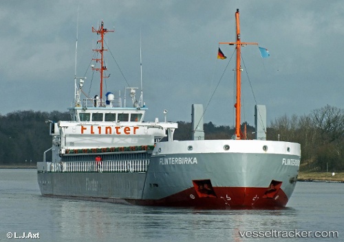
Marjatta
Current StatusWhere is the vessel?
Marjatta is currently in 46 nm NE of Bowers Gifford, based on AIS data received less than 1h ago.
Latest AIS update:
Current position: 56.26151° N, 6.50564° E (46 nm NE of Bowers Gifford)
Average speed (last 7 days): Loading…
Average speed (last 30 days): Loading…
Vessel profile: Marjatta is a General Cargo Ship with dimensions 13m x 83m.
This page combines live AIS, route history, probable destination signals, nearby traffic, and port activity for practical vessel monitoring.
The current position of vessel Marjatta is 56.26151 lat / 6.50564 lng. Updated: 2026-04-21 04:15:04 UTCNearest reference points:
- 36 nm W of HVIDE SANDE
- Near Blavand
- Near Thyborøn
Details:
Live Vessel Marjatta Analytics (details, animations, etc.)
Recent AIS points (UTC):
2026-04-21 01:43:06 UTC · 56.14400, 6.24712 · SOG 10.3 kn · COG 50°2026-04-21 01:43:06 UTC · 56.14400, 6.24712 · SOG 10.3 kn · COG 50°
2026-04-21 03:32:36 UTC · 56.22695, 6.42992 · SOG 10.1 kn · COG 50°
2026-04-21 04:15:04 UTC · 56.26151, 6.50564 · SOG 10.1 kn · COG 50°