 vesseltracker.com
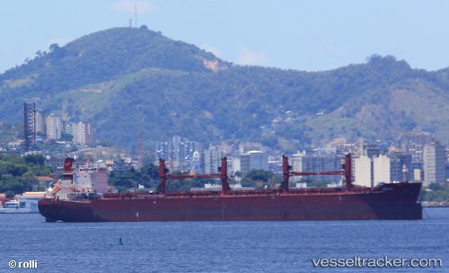
 AEOLIA
Current Status
Where is the vessel?
AEOLIA is currently in 281 nm W of JAIGAD, based on AIS data received about 13h ago.
Latest AIS update:
Current position: 16.33871° N, 68.44029° E (281 nm W of JAIGAD)
Average speed (last 7 days): Loading…
Average speed (last 30 days): Loading…
Vessel profile: AEOLIA is a Cargo with dimensions 199m x 32m.
This page combines live AIS, route history, probable destination signals, nearby traffic, and port activity for practical vessel monitoring.
The current position of vessel AEOLIA is 16.33871 lat / 68.44029 lng. Updated: 2026-04-10 06:55:29 UTCNearest reference points:
- 282 nm W of RATNAGIRI
- 306 nm SW of Veraval
- 236 nm SW of Veraval
Currently sailing under the flag of Cyprus ![]()
Details:
Live Vessel AEOLIA Analytics (details, animations, etc.)
Recent AIS points (UTC):
2026-04-09 23:43:21 UTC · 17.57483, 69.22603 · SOG 11.8 kn · COG 208°2026-04-10 03:19:40 UTC · 16.94461, 68.86325 · SOG 12.1 kn · COG 210°
2026-04-10 05:42:05 UTC · 16.53528, 68.59616 · SOG 12.2 kn · COG 219°
2026-04-10 06:55:29 UTC · 16.33871, 68.44029 · SOG 12.1 kn · COG 219°