 vesseltracker.com
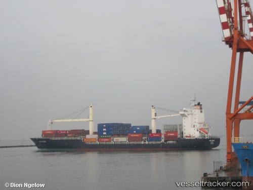
 GFS RHINE
Current Status
Where is the vessel?
GFS RHINE is currently in Near HAMBANTOTA, based on AIS data received less than 1h ago.
Latest AIS update:
Current position: 6.05552° N, 81.08993° E (Near HAMBANTOTA)
Average speed (last 7 days): Loading…
Average speed (last 30 days): Loading…
Vessel profile: GFS RHINE is a Container Ship with dimensions m x m.
This page combines live AIS, route history, probable destination signals, nearby traffic, and port activity for practical vessel monitoring.
The current position of vessel GFS RHINE is 6.05552 lat / 81.08993 lng. Updated: 2026-04-17 14:07:06 UTCNearest reference points:
- Near HAMBANTOTA
- 15 nm S of Koggala
- 40 nm E of Konwelana
Currently sailing under the flag of Cyprus ![]()
Details:
Live Vessel GFS RHINE Analytics (details, animations, etc.)
Recent AIS points (UTC):
2026-04-17 07:28:06 UTC · 6.05542, 81.09007 · SOG 0 kn · COG 120°2026-04-17 09:58:06 UTC · 6.05598, 81.09043 · SOG 0 kn · COG 140°
2026-04-17 11:52:06 UTC · 6.05605, 81.09065 · SOG 0 kn · COG 150°
2026-04-17 14:07:06 UTC · 6.05552, 81.08993 · SOG 0.1 kn · COG 122°