 vesseltracker.com
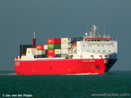
 CARIBBEAN FORCE
Current Status
Where is the vessel?
CARIBBEAN FORCE is currently in Near CULEBRA, based on AIS data received less than 1h ago.
Latest AIS update:
Current position: 18.34975° N, 65.14658° W (Near CULEBRA)
Average speed (last 7 days): Loading…
Average speed (last 30 days): Loading…
Vessel profile: CARIBBEAN FORCE is a Ro-Ro Cargo with dimensions m x m.
This page combines live AIS, route history, probable destination signals, nearby traffic, and port activity for practical vessel monitoring.
The current position of vessel CARIBBEAN FORCE is 18.34975 lat / -65.14658 lng. Updated: 2026-04-21 23:40:18 UTCNearest reference points:
- Near Charlotte Amalie
- Near ST THOMAS
- Near Roosevelt Roads
Currently sailing under the flag of Cyprus ![]()
Details:
Live Vessel CARIBBEAN FORCE Analytics (details, animations, etc.)
Recent AIS points (UTC):
2026-04-21 20:06:48 UTC · 18.50526, -65.98936 · SOG 13.9 kn · COG 88°2026-04-21 21:58:03 UTC · 18.45523, -65.54288 · SOG 13.7 kn · COG 98°
2026-04-21 22:05:53 UTC · 18.45084, -65.51189 · SOG 13.7 kn · COG 97°
2026-04-21 23:40:18 UTC · 18.34975, -65.14658 · SOG 14.1 kn · COG 130°