 vesseltracker.com
 AIA
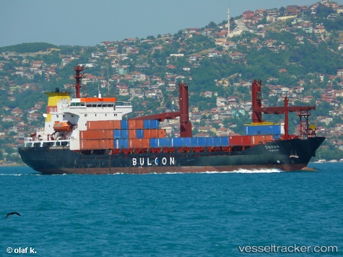
AIA
Current Status
Where is the vessel?
AIA is currently in Near Samsun, based on AIS data received about 1h ago.
Latest AIS update:
Current position: 41.33100° N, 36.38544° E (Near Samsun)
Average speed (last 7 days): Loading…
Average speed (last 30 days): Loading…
Vessel profile: AIA is a Ro-Ro Cargo with dimensions m x m.
This page combines live AIS, route history, probable destination signals, nearby traffic, and port activity for practical vessel monitoring.
The current position of vessel AIA is 41.33100 lat / 36.38544 lng. Updated: 2026-04-17 19:49:30 UTCNearest reference points:
- Near Samsun
- 15 nm W of UNYE
- 22 nm E of Sinop
Details:
Live Vessel AIA Analytics (details, animations, etc.)
Recent AIS points (UTC):
2026-04-17 14:04:28 UTC · 41.33069, 36.38538 · SOG 0 kn · COG 80°2026-04-17 16:25:27 UTC · 41.33082, 36.38535 · SOG 0.1 kn · COG 95°
2026-04-17 17:37:27 UTC · 41.33092, 36.38535 · SOG 0 kn · COG 105°
2026-04-17 19:49:30 UTC · 41.33100, 36.38544 · SOG 0 kn · COG 127°