 vesseltracker.com
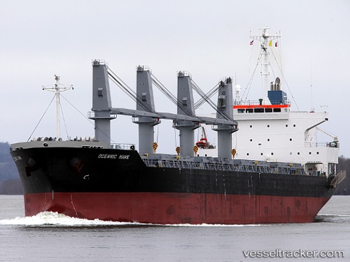
 Oceanic Island
Current Status
Where is the vessel?
Oceanic Island is currently in Near Olviia, based on AIS data received about 875d ago.
Latest AIS update:
Current position: 46.84529° N, 31.96995° E (Near Olviia)
Average speed (last 7 days): Loading…
Average speed (last 30 days): Loading…
Vessel profile: Oceanic Island is a Bulk Carrier with dimensions 171m x 171m.
This page combines live AIS, route history, probable destination signals, nearby traffic, and port activity for practical vessel monitoring.
The current position of vessel Oceanic Island is 46.84529 lat / 31.96995 lng. Updated: 2023-11-20 17:56:50 UTCNearest reference points:
- Near Olviia
- 45 nm W of Krasne
- Near Illichivs’K
Currently sailing under the flag of Malta ![]()
Oceanic Island built in 2010 year
Deadweight:
29027 tDetails:
Live Vessel Oceanic Island Analytics (details, animations, etc.)
Recent AIS points (UTC):
2023-11-20 17:56:50 UTC · 46.84529, 31.96995 · SOG 0.1 kn · COG -1°