 vesseltracker.com
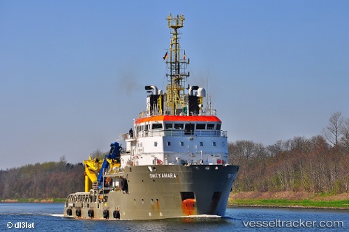
Kamara
Current StatusWhere is the vessel?
Kamara is currently in 14 nm SW of Thorntonbank, based on AIS data received less than 1h ago.
Latest AIS update:
Current position: 51.43791° N, 2.70065° E (14 nm SW of Thorntonbank)
Average speed (last 7 days): Loading…
Average speed (last 30 days): Loading…
Vessel profile: Kamara is a Offshore Tug Supply Ship with dimensions 16m x 72m.
This page combines live AIS, route history, probable destination signals, nearby traffic, and port activity for practical vessel monitoring.
The current position of vessel Kamara is 51.43791 lat / 2.70065 lng. Updated: 2026-04-14 11:48:21 UTCNearest reference points:
- 13 nm NW of Middelkerke
- Near Oostende
- Near Lombardsijde
Details:
Live Vessel Kamara Analytics (details, animations, etc.)
Recent AIS points (UTC):
2026-04-14 05:52:40 UTC · 51.44414, 2.68863 · SOG 0 kn · COG 214°2026-04-14 07:36:02 UTC · 51.44011, 2.69626 · SOG 1.3 kn · COG 50°
2026-04-14 10:09:50 UTC · 51.43986, 2.69769 · SOG 0 kn · COG 46°
2026-04-14 11:48:21 UTC · 51.43791, 2.70065 · SOG 0 kn · COG 221°