 vesseltracker.com
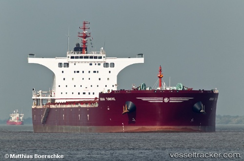
Kiran Turkiye
Current StatusWhere is the vessel?
Kiran Turkiye is currently in 10 nm SW of Cape Of Good Hope, based on AIS data received less than 1h ago.
Latest AIS update:
Current position: 34.45650° S, 18.21020° E (10 nm SW of Cape Of Good Hope)
Average speed (last 7 days): Loading…
Average speed (last 30 days): Loading…
Vessel profile: Kiran Turkiye is a Bulk Carrier with dimensions 44m x 292m.
This page combines live AIS, route history, probable destination signals, nearby traffic, and port activity for practical vessel monitoring.
The current position of vessel Kiran Turkiye is -34.4565 lat / 18.2102 lng. Updated: 2026-04-14 21:35:20 UTCNearest reference points:
- 18 nm SW of Cape Of Good Hope
- Near HOUT BAY
- Near Mitchells Plain
Details:
Live Vessel Kiran Turkiye Analytics (details, animations, etc.)
Recent AIS points (UTC):
2026-04-14 15:51:31 UTC · -33.68760, 17.67070 · SOG 10.5 kn · COG 146°2026-04-14 17:41:51 UTC · -33.93470, 17.89600 · SOG 9.6 kn · COG 148°
2026-04-14 20:16:21 UTC · -34.28610, 18.11290 · SOG 8.9 kn · COG 162°
2026-04-14 21:35:20 UTC · -34.45650, 18.21020 · SOG 8.7 kn · COG 169°