 vesseltracker.com
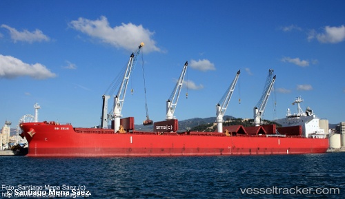
 GLYFADA
Current Status
Where is the vessel?
GLYFADA is currently in 90 nm S of Benahavis, based on AIS data received less than 1h ago.
Latest AIS update:
Current position: 35.01290° N, 50.60630° W (90 nm S of Benahavis)
Average speed (last 7 days): Loading…
Average speed (last 30 days): Loading…
Vessel profile: GLYFADA is a Bulk Carrier with dimensions 199m x 32m.
This page combines live AIS, route history, probable destination signals, nearby traffic, and port activity for practical vessel monitoring.
The current position of vessel GLYFADA is 35.0129 lat / -50.6063 lng. Updated: 2026-04-20 02:12:38 UTCNearest reference points:
- 244 nm SW of Benahavis
Currently sailing under the flag of Malta ![]()
GLYFADA built in 2016 year
Deadweight:
60414 tDetails:
Live Vessel GLYFADA Analytics (details, animations, etc.)
Recent AIS points (UTC):
2026-04-19 22:46:32 UTC · 34.81850, -51.38960 · SOG 11.9 kn · COG 73°2026-04-19 23:28:20 UTC · 34.86230, -51.23050 · SOG 12 kn · COG 75°
2026-04-20 01:09:12 UTC · 34.95430, -50.84890 · SOG 11.8 kn · COG 75°
2026-04-20 02:12:38 UTC · 35.01290, -50.60630 · SOG 11.5 kn · COG 76°