 vesseltracker.com
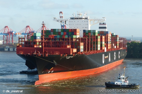
 AL NEFUD
Current Status
Where is the vessel?
AL NEFUD is currently in 157 nm SW of L'Étang-Salé, based on AIS data received about 1d ago.
Latest AIS update:
Current position: 23.20130° S, 53.47720° E (157 nm SW of L'Étang-Salé)
Average speed (last 7 days): Loading…
Average speed (last 30 days): Loading…
Vessel profile: AL NEFUD is a Cargo A with dimensions m x m.
This page combines live AIS, route history, probable destination signals, nearby traffic, and port activity for practical vessel monitoring.
The current position of vessel AL NEFUD is -23.2013 lat / 53.4772 lng. Updated: 2026-04-10 06:58:49 UTCNearest reference points:
- 209 nm E of Manakara
- 194 nm E of Manakara
Currently sailing under the flag of Germany ![]()
Details:
Live Vessel AL NEFUD Analytics (details, animations, etc.)
Recent AIS points (UTC):
2026-04-10 02:31:48 UTC · -22.63050, 54.73650 · SOG 17.1 kn · COG 244°2026-04-10 03:59:36 UTC · -22.79980, 54.32010 · SOG 17.4 kn · COG 242°
2026-04-10 06:15:23 UTC · -23.10220, 53.68740 · SOG 17.8 kn · COG 243°
2026-04-10 06:58:49 UTC · -23.20130, 53.47720 · SOG 17.7 kn · COG 242°