 vesseltracker.com
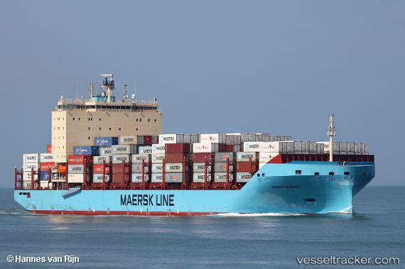
 Vilnia Maersk
Current Status
Where is the vessel?
Vilnia Maersk is currently in Near HOOKSIEL, based on AIS data received about 1h ago.
Latest AIS update:
Current position: 53.72767° N, 8.26250° E (Near HOOKSIEL)
Average speed (last 7 days): Loading…
Average speed (last 30 days): Loading…
Vessel profile: Vilnia Maersk is a Container Ship with dimensions 200m x 36m.
This page combines live AIS, route history, probable destination signals, nearby traffic, and port activity for practical vessel monitoring.
The current position of vessel Vilnia Maersk is 53.72767 lat / 8.26250 lng. Updated: 2026-04-01 05:22:54 UTCNearest reference points:
- 10 nm E of Wangerooge
- Near HOOKSIEL
- Near Wilhelmshaven
Currently sailing under the flag of Denmark ![]()
Details:
Live Vessel Vilnia Maersk Analytics (details, animations, etc.)
Recent AIS points (UTC):
2026-03-31 23:50:28 UTC · 53.59755, 8.51602 · SOG 0 kn · COG 141°2026-04-01 02:21:51 UTC · 53.59833, 8.51667 · SOG 0 kn · COG -1°
2026-04-01 04:11:30 UTC · 53.59757, 8.51600 · SOG 0 kn · COG 141°
2026-04-01 05:22:54 UTC · 53.72767, 8.26250 · SOG 14.2 kn · COG 304°