 vesseltracker.com
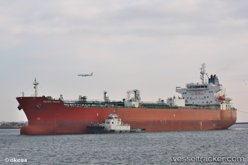
 TORM DEBORAH
Current Status
Where is the vessel?
TORM DEBORAH is currently in 84 nm NW of Laoag, Luzon, based on AIS data received about 2h ago.
Latest AIS update:
Current position: 18.78855° N, 119.26225° E (84 nm NW of Laoag, Luzon)
Average speed (last 7 days): Loading…
Average speed (last 30 days): Loading…
Vessel profile: TORM DEBORAH is a Tanker with dimensions m x m.
This page combines live AIS, route history, probable destination signals, nearby traffic, and port activity for practical vessel monitoring.
The current position of vessel TORM DEBORAH is 18.78855 lat / 119.26225 lng. Updated: 2026-04-19 19:34:46 UTCNearest reference points:
- 22 nm W of Salomague
- 132 nm SW of Kaohsiung
- 138 nm NW of Bolinao
Currently sailing under the flag of Denmark ![]()
Details:
Live Vessel TORM DEBORAH Analytics (details, animations, etc.)
Recent AIS points (UTC):
2026-04-19 15:39:56 UTC · 18.17747, 118.62959 · SOG 13 kn · COG 46°2026-04-19 15:39:56 UTC · 18.17747, 118.62959 · SOG 13 kn · COG 46°
2026-04-19 15:39:56 UTC · 18.17747, 118.62959 · SOG 13 kn · COG 46°
2026-04-19 19:34:46 UTC · 18.78855, 119.26225 · SOG 12.2 kn · COG 48°