 vesseltracker.com
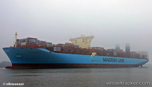
 Mathilde Maersk
Current Status
Where is the vessel?
Mathilde Maersk is currently in 185 nm SW of Monrovia, based on AIS data received less than 1h ago.
Latest AIS update:
Current position: 3.70235° N, 12.43145° W (185 nm SW of Monrovia)
Average speed (last 7 days): Loading…
Average speed (last 30 days): Loading…
Vessel profile: Mathilde Maersk is a Container Ship with dimensions 399m x 399m.
This page combines live AIS, route history, probable destination signals, nearby traffic, and port activity for practical vessel monitoring.
The current position of vessel Mathilde Maersk is 3.70235 lat / -12.43145 lng. Updated: 2026-04-17 17:33:15 UTCNearest reference points:
- 110 nm SW of River Cess
- 126 nm SW of YORK
- 15 nm SW of Buchanan
Currently sailing under the flag of Denmark ![]()
Details:
Live Vessel Mathilde Maersk Analytics (details, animations, etc.)
Recent AIS points (UTC):
2026-04-17 11:47:11 UTC · 2.53717, -11.62683 · SOG 15 kn · COG 327°2026-04-17 13:30:00 UTC · 2.89102, -11.86795 · SOG 14.9 kn · COG 325°
2026-04-17 15:51:10 UTC · 3.36310, -12.19325 · SOG 14.6 kn · COG 323°
2026-04-17 17:33:15 UTC · 3.70235, -12.43145 · SOG 14.8 kn · COG 323°