 vesseltracker.com
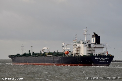
 TORM HEDWIG
Current Status
Where is the vessel?
TORM HEDWIG is currently in 17 nm SW of Pulau Indah, based on AIS data received less than 1h ago.
Latest AIS update:
Current position: 2.70479° N, 101.16330° E (17 nm SW of Pulau Indah)
Average speed (last 7 days): Loading…
Average speed (last 30 days): Loading…
Vessel profile: TORM HEDWIG is a Tanker with dimensions m x m.
This page combines live AIS, route history, probable destination signals, nearby traffic, and port activity for practical vessel monitoring.
The current position of vessel TORM HEDWIG is 2.70479 lat / 101.16330 lng. Updated: 2026-04-08 13:29:55 UTCNearest reference points:
- 21 nm SW of Pulau Indah
- 15 nm SW of Banting
- Near Pulau Indah
Currently sailing under the flag of Denmark ![]()
Details:
Live Vessel TORM HEDWIG Analytics (details, animations, etc.)
Recent AIS points (UTC):
2026-04-08 08:05:55 UTC · 3.26813, 100.29081 · SOG 10.5 kn · COG 124°2026-04-08 09:33:16 UTC · 3.11277, 100.49517 · SOG 10.6 kn · COG 119°
2026-04-08 11:28:45 UTC · 2.96401, 100.82446 · SOG 12.7 kn · COG 126°
2026-04-08 13:29:55 UTC · 2.70479, 101.16330 · SOG 12.9 kn · COG 117°