 vesseltracker.com
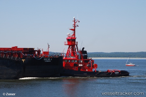
 Calorius
Current Status
Where is the vessel?
Calorius is currently in 14 nm NW of Wieck auf dem Dass, based on AIS data received about 6h ago.
Latest AIS update:
Current position: 54.63413° N, 12.40884° E (14 nm NW of Wieck auf dem Dass)
Average speed (last 7 days): Loading…
Average speed (last 30 days): Loading…
Vessel profile: Calorius is a Pusher Tug with dimensions 130m x 20m.
This page combines live AIS, route history, probable destination signals, nearby traffic, and port activity for practical vessel monitoring.
The current position of vessel Calorius is 54.63413 lat / 12.40884 lng. Updated: 2026-04-10 07:27:42 UTCNearest reference points:
- 10 nm NW of Graal-Müritz
- Near Pruchten
- Near Warnemunde
Currently sailing under the flag of Denmark ![]()
Calorius built in 1988 year
Deadweight:
200 tDetails:
Live Vessel Calorius Analytics (details, animations, etc.)
Recent AIS points (UTC):
2026-04-10 02:24:01 UTC · 54.52333, 11.40583 · SOG 7.3 kn · COG 120°2026-04-10 03:49:21 UTC · 54.43456, 11.71396 · SOG 8.9 kn · COG 118°
2026-04-10 05:58:01 UTC · 54.44867, 12.22350 · SOG 8.8 kn · COG 37°
2026-04-10 07:27:42 UTC · 54.63413, 12.40884 · SOG 8.7 kn · COG 60°