 vesseltracker.com
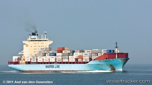
 Oluf Maersk
Current Status
Where is the vessel?
Oluf Maersk is currently in 35 nm SE of Narooma, based on AIS data received about 2h ago.
Latest AIS update:
Current position: 36.51443° S, 150.68192° E (35 nm SE of Narooma)
Average speed (last 7 days): Loading…
Average speed (last 30 days): Loading…
Vessel profile: Oluf Maersk is a Container Ship with dimensions 237m x 237m.
This page combines live AIS, route history, probable destination signals, nearby traffic, and port activity for practical vessel monitoring.
The current position of vessel Oluf Maersk is -36.51443 lat / 150.68192 lng. Updated: 2026-04-08 19:31:28 UTCNearest reference points:
- Near Jervis Bay
- 49 nm SE of Gerringong
- 26 nm SE of Lakes Entrance
Currently sailing under the flag of Denmark ![]()
Oluf Maersk built in 2003 year
Deadweight:
41028 tDetails:
Live Vessel Oluf Maersk Analytics (details, animations, etc.)
Recent AIS points (UTC):
2026-04-08 14:06:56 UTC · -35.24930, 151.21243 · SOG 15.3 kn · COG 197°2026-04-08 16:05:58 UTC · -35.74587, 151.02042 · SOG 15.5 kn · COG 202°
2026-04-08 16:53:15 UTC · -35.94017, 150.94206 · SOG 15.2 kn · COG 205°
2026-04-08 19:31:28 UTC · -36.51443, 150.68192 · SOG 13.5 kn · COG 200°