 vesseltracker.com
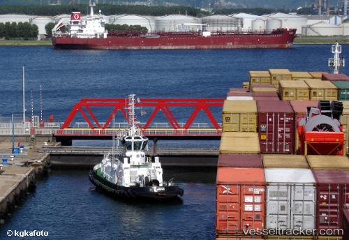
 Farouche
Current Status
Where is the vessel?
Farouche is currently in Near Saint-Pol-sur-Mer, based on AIS data received about 1h ago.
Latest AIS update:
Current position: 51.05190° N, 2.31919° E (Near Saint-Pol-sur-Mer)
Average speed (last 7 days): Loading…
Average speed (last 30 days): Loading…
Vessel profile: Farouche is a Tug with dimensions 30m x 10m.
This page combines live AIS, route history, probable destination signals, nearby traffic, and port activity for practical vessel monitoring.
The current position of vessel Farouche is 51.05190 lat / 2.31919 lng. Updated: 2026-04-20 06:00:43 UTCNearest reference points:
- Near Dunkerque
- Near ARQUES
- Near Lombardsijde
Currently sailing under the flag of France ![]()
Details:
Live Vessel Farouche Analytics (details, animations, etc.)
Recent AIS points (UTC):
2026-04-20 02:22:04 UTC · 51.04742, 2.35744 · SOG 8.1 kn · COG -1°2026-04-20 03:44:44 UTC · 51.05636, 2.34969 · SOG 1.4 kn · COG -1°
2026-04-20 04:36:13 UTC · 51.05220, 2.31963 · SOG 6 kn · COG -1°
2026-04-20 06:00:43 UTC · 51.05190, 2.31919 · SOG 11.5 kn · COG -1°