 vesseltracker.com
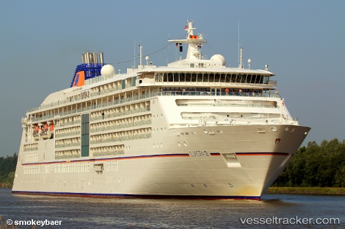
 Europa 2
Current Status
Where is the vessel?
Europa 2 is currently in 27 nm SE of Coruripe, based on AIS data received less than 1h ago.
Latest AIS update:
Current position: 10.53162° S, 35.97280° W (27 nm SE of Coruripe)
Average speed (last 7 days): Loading…
Average speed (last 30 days): Loading…
Vessel profile: Europa 2 is a Cruise Ship with dimensions 226m x 226m.
This page combines live AIS, route history, probable destination signals, nearby traffic, and port activity for practical vessel monitoring.
The current position of vessel Europa 2 is -10.53162 lat / -35.97280 lng. Updated: 2026-03-31 17:38:58 UTCNearest reference points:
- Near Barra dos Coqueiros
- Near Aracaju
- Near Suape
Currently sailing under the flag of Malta ![]()
Europa 2 built in 2013 year
Deadweight:
5285 tDetails:
Live Vessel Europa 2 Analytics (details, animations, etc.)
Recent AIS points (UTC):
2026-03-31 12:13:35 UTC · -11.35080, -36.66448 · SOG 12.3 kn · COG 43°2026-03-31 14:00:46 UTC · -11.07500, -36.42333 · SOG 12 kn · COG -1°
2026-03-31 16:15:55 UTC · -10.72915, -36.13683 · SOG 11.2 kn · COG 42°
2026-03-31 17:38:58 UTC · -10.53162, -35.97280 · SOG 11 kn · COG 39°