 vesseltracker.com
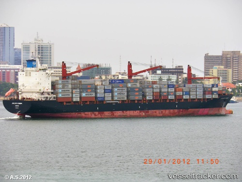
 CMA CGM MOMBASA
Current Status
Where is the vessel?
CMA CGM MOMBASA is currently in 77 nm SW of Kalpeni Island, based on AIS data received about 21h ago.
Latest AIS update:
Current position: 9.02070° N, 72.87463° E (77 nm SW of Kalpeni Island)
Average speed (last 7 days): Loading…
Average speed (last 30 days): Loading…
Vessel profile: CMA CGM MOMBASA is a Container Ship with dimensions 213m x 29m.
This page combines live AIS, route history, probable destination signals, nearby traffic, and port activity for practical vessel monitoring.
The current position of vessel CMA CGM MOMBASA is 9.02070 lat / 72.87463 lng. Updated: 2026-04-10 06:54:24 UTCNearest reference points:
- 45 nm SW of Kalpeni Island
- 13 nm NW of Lakshadweep
- 130 nm W of Lakshadweep
Currently sailing under the flag of Malta ![]()
CMA CGM MOMBASA built in 2008 year
Deadweight:
34325 tDetails:
Live Vessel CMA CGM MOMBASA Analytics (details, animations, etc.)
Recent AIS points (UTC):
2026-04-10 00:06:07 UTC · 10.05023, 71.55250 · SOG 14.4 kn · COG 129°2026-04-10 03:36:12 UTC · 9.50152, 72.21478 · SOG 15 kn · COG 125°
2026-04-10 05:58:42 UTC · 9.14973, 72.69053 · SOG 14.3 kn · COG 125°
2026-04-10 06:54:24 UTC · 9.02070, 72.87463 · SOG 14.5 kn · COG 125°