 vesseltracker.com
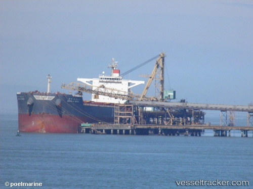
 ATALANDI
Current Status
Where is the vessel?
ATALANDI is currently in 366 nm N of Levelwood, based on AIS data received about 1h ago.
Latest AIS update:
Current position: 9.04522° S, 6.05277° W (366 nm N of Levelwood)
Average speed (last 7 days): Loading…
Average speed (last 30 days): Loading…
Vessel profile: ATALANDI is a Bulk Carrier with dimensions 45m x 292m.
This page combines live AIS, route history, probable destination signals, nearby traffic, and port activity for practical vessel monitoring.
The current position of vessel ATALANDI is -9.04522 lat / -6.05277 lng. Updated: 2026-04-04 06:46:24 UTCNearest reference points:
- Open sea, approx. 401 nm off the nearest listed port
- Open sea (no nearby ports in database)
- Open sea, approx. 402 nm off the nearest listed port
Currently sailing under the flag of Malta ![]()
ATALANDI built in 2010 year
Deadweight:
179329 tDetails:
Live Vessel ATALANDI Analytics (details, animations, etc.)
Recent AIS points (UTC):
2026-04-04 01:20:35 UTC · -9.75601, -5.51359 · SOG 9.6 kn · COG 324°2026-04-04 03:27:23 UTC · -9.47714, -5.72745 · SOG 9.9 kn · COG 324°
2026-04-04 05:37:53 UTC · -9.19232, -5.94379 · SOG 9.5 kn · COG 326°
2026-04-04 06:46:24 UTC · -9.04522, -6.05277 · SOG 9.4 kn · COG 328°