 vesseltracker.com
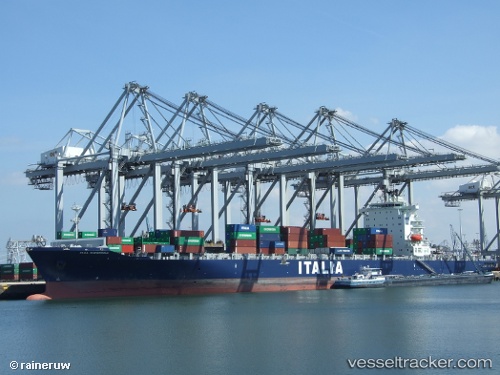
 CMA CGM NANTONG
Current Status
Where is the vessel?
CMA CGM NANTONG is currently in 61 nm E of Ruby, based on AIS data received less than 1h ago.
Latest AIS update:
Current position: 10.17870° N, 109.50420° E (61 nm E of Ruby)
Average speed (last 7 days): Loading…
Average speed (last 30 days): Loading…
Vessel profile: CMA CGM NANTONG is a Container Ship with dimensions 263m x 32m.
This page combines live AIS, route history, probable destination signals, nearby traffic, and port activity for practical vessel monitoring.
The current position of vessel CMA CGM NANTONG is 10.17870 lat / 109.50420 lng. Updated: 2026-04-20 06:12:32 UTCNearest reference points:
- Near Rang Dong
- Near Vinh Cam Ranh
- 156 nm SE of Phan Rang-Tháp Chàm
Currently sailing under the flag of Malta ![]()
CMA CGM NANTONG built in 2008 year
Deadweight:
53644 tDetails:
Live Vessel CMA CGM NANTONG Analytics (details, animations, etc.)
Recent AIS points (UTC):
2026-04-20 02:02:26 UTC · 10.96167, 110.20333 · SOG 15 kn · COG -1°2026-04-20 03:51:08 UTC · 10.61431, 109.89653 · SOG 14.8 kn · COG 222°
2026-04-20 04:41:28 UTC · 10.45833, 109.75500 · SOG 14 kn · COG -1°
2026-04-20 06:12:32 UTC · 10.17870, 109.50420 · SOG 15 kn · COG 226°