 vesseltracker.com
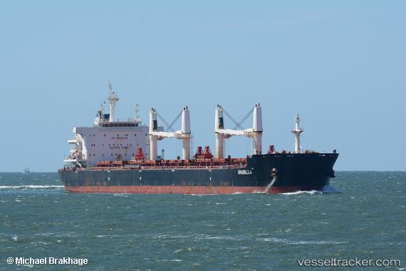
 Arabella
Current Status
Where is the vessel?
Arabella is currently in 23 nm SW of Balabac, Palawan, based on AIS data received about 22h ago.
Latest AIS update:
Current position: 7.67903° N, 116.78840° E (23 nm SW of Balabac, Palawan)
Average speed (last 7 days): Loading…
Average speed (last 30 days): Loading…
Vessel profile: Arabella is a Bulk Carrier with dimensions 195m x 195m.
This page combines live AIS, route history, probable destination signals, nearby traffic, and port activity for practical vessel monitoring.
The current position of vessel Arabella is 7.67903 lat / 116.78840 lng. Updated: 2026-04-08 18:35:07 UTCNearest reference points:
- 35 nm SE of Brookes Point, Palawan
- Near Kota Kinabalu
- 44 nm SW of Tembungo
Currently sailing under the flag of Malta ![]()
Details:
Live Vessel Arabella Analytics (details, animations, etc.)
Recent AIS points (UTC):
2026-04-08 00:21:57 UTC · 5.74886, 119.14378 · SOG 12.5 kn · COG -1°2026-04-08 15:51:46 UTC · 7.97482, 117.26875 · SOG 13 kn · COG -1°
2026-04-08 18:35:07 UTC · 7.67903, 116.78840 · SOG 13 kn · COG 258°
2026-04-08 18:35:07 UTC · 7.67903, 116.78840 · SOG 13 kn · COG 258°