 vesseltracker.com
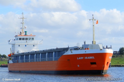
 EMILIE
Current Status
Where is the vessel?
EMILIE is currently in Near Bastorf, based on AIS data received less than 1h ago.
Latest AIS update:
Current position: 54.18436° N, 11.58766° E (Near Bastorf)
Average speed (last 7 days): Loading…
Average speed (last 30 days): Loading…
Vessel profile: EMILIE is a General Cargo with dimensions m x m.
This page combines live AIS, route history, probable destination signals, nearby traffic, and port activity for practical vessel monitoring.
The current position of vessel EMILIE is 54.18436 lat / 11.58766 lng. Updated: 2026-04-19 10:15:08 UTCNearest reference points:
- Near Wismar
- Near GEDSER
- Near BURGSTAAKEN
Currently sailing under the flag of Finland ![]()
Details:
Live Vessel EMILIE Analytics (details, animations, etc.)
Recent AIS points (UTC):
2026-04-19 05:36:27 UTC · 54.68992, 12.45896 · SOG 9.6 kn · COG 235°2026-04-19 07:35:49 UTC · 54.45609, 12.13042 · SOG 9.5 kn · COG 249°
2026-04-19 09:32:38 UTC · 54.26496, 11.72095 · SOG 9.6 kn · COG 224°
2026-04-19 10:15:08 UTC · 54.18436, 11.58766 · SOG 8.6 kn · COG 220°