 vesseltracker.com
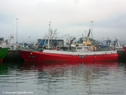
Eder Sands
Current StatusWhere is the vessel?
Eder Sands is currently in 61 nm W of Thistle Field, based on AIS data received about 2h ago.
Latest AIS update:
Current position: 61.82833° N, 0.46167° W (61 nm W of Thistle Field)
Average speed (last 7 days): Loading…
Average speed (last 30 days): Loading…
Vessel profile: Eder Sands is a Fishing Vessel with dimensions 7m x 38m.
This page combines live AIS, route history, probable destination signals, nearby traffic, and port activity for practical vessel monitoring.
The current position of vessel Eder Sands is 61.82833 lat / -0.46167 lng. Updated: 2026-03-30 13:33:05 UTCNearest reference points:
- 32 nm NW of Eshaness
- 36 nm NW of Ham Voe, Foula
- 10 nm N of Leadon
Details:
Live Vessel Eder Sands Analytics (details, animations, etc.)
Recent AIS points (UTC):
2026-03-30 07:42:05 UTC · 61.85667, -0.29667 · SOG 4 kn · COG -1°2026-03-30 09:12:05 UTC · 61.83500, -0.49833 · SOG 4 kn · COG -1°
2026-03-30 11:57:05 UTC · 61.80333, -0.56333 · SOG 6 kn · COG -1°
2026-03-30 13:33:05 UTC · 61.82833, -0.46167 · SOG 1 kn · COG -1°