 vesseltracker.com
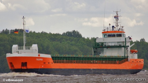
 CLARITY
Current Status
Where is the vessel?
CLARITY is currently in 22 nm S of Eastbourne, based on AIS data received less than 1h ago.
Latest AIS update:
Current position: 50.39854° N, 0.24076° E (22 nm S of Eastbourne)
Average speed (last 7 days): Loading…
Average speed (last 30 days): Loading…
Vessel profile: CLARITY is a General Cargo Ship with dimensions 90m x 13m.
This page combines live AIS, route history, probable destination signals, nearby traffic, and port activity for practical vessel monitoring.
The current position of vessel CLARITY is 50.39854 lat / 0.24076 lng. Updated: 2026-04-19 21:40:31 UTCNearest reference points:
- 27 nm S of Seaford
- 23 nm S of Poling
- Near Saint Leonards-on-Sea
Currently sailing under the flag of Isle of Man ![]()
CLARITY built in 2011 year
Deadweight:
3796 tDetails:
Live Vessel CLARITY Analytics (details, animations, etc.)
Recent AIS points (UTC):
2026-04-19 18:01:10 UTC · 50.27233, -0.79662 · SOG 9.6 kn · COG 80°2026-04-19 19:14:01 UTC · 50.30060, -0.47624 · SOG 10.7 kn · COG 80°
2026-04-19 19:42:00 UTC · 50.31056, -0.34577 · SOG 11.2 kn · COG 81°
2026-04-19 21:40:31 UTC · 50.39854, 0.24076 · SOG 12.3 kn · COG 68°