 vesseltracker.com
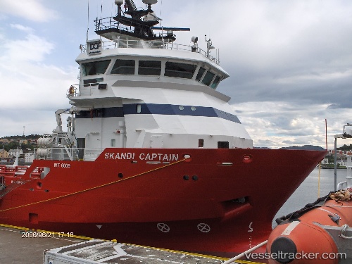
 OCEANICASUB XVIII
Current Status
Where is the vessel?
OCEANICASUB XVIII is currently in 47 nm S of Capixaba FPSO, based on AIS data received about 1h ago.
Latest AIS update:
Current position: 21.99941° S, 39.74304° W (47 nm S of Capixaba FPSO)
Average speed (last 7 days): Loading…
Average speed (last 30 days): Loading…
Vessel profile: OCEANICASUB XVIII is a Offshore Supply Ship with dimensions m x m.
This page combines live AIS, route history, probable destination signals, nearby traffic, and port activity for practical vessel monitoring.
The current position of vessel OCEANICASUB XVIII is -21.99941 lat / -39.74304 lng. Updated: 2026-04-18 05:51:51 UTCNearest reference points:
- 68 nm SE of Espírito Santo FPSO
- Near Capixaba FPSO
- Near Fluminense FPSO
Currently sailing under the flag of United Kingdom ![]()
Details:
Live Vessel OCEANICASUB XVIII Analytics (details, animations, etc.)
Recent AIS points (UTC):
2026-04-18 00:11:19 UTC · -22.46083, -40.25673 · SOG 7.7 kn · COG 71°2026-04-18 02:05:03 UTC · -22.40135, -39.98022 · SOG 8.6 kn · COG 28°
2026-04-18 03:19:50 UTC · -22.24399, -39.88435 · SOG 8.5 kn · COG 26°
2026-04-18 05:51:51 UTC · -21.99941, -39.74304 · SOG 0.7 kn · COG 90°