 vesseltracker.com
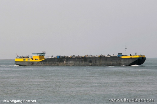
 AL AMANI
Current Status
Where is the vessel?
AL AMANI is currently in Near ZEA, based on AIS data received about 12h ago.
Latest AIS update:
Current position: 37.93230° N, 23.64712° E (Near ZEA)
Average speed (last 7 days): Loading…
Average speed (last 30 days): Loading…
Vessel profile: AL AMANI is a Not available with dimensions m x m.
This page combines live AIS, route history, probable destination signals, nearby traffic, and port activity for practical vessel monitoring.
The current position of vessel AL AMANI is 37.93230 lat / 23.64712 lng. Updated: 2026-04-10 07:38:58 UTCNearest reference points:
- Near ZEA
- Near Piraeus
- Near FLISVOS
Currently sailing under the flag of United Kingdom ![]()
Details:
Live Vessel AL AMANI Analytics (details, animations, etc.)
Recent AIS points (UTC):
2026-04-10 02:14:59 UTC · 37.93229, 23.64711 · SOG 0 kn · COG 104°2026-04-10 03:59:54 UTC · 37.93226, 23.64709 · SOG 0 kn · COG 105°
2026-04-10 05:35:59 UTC · 37.93221, 23.64710 · SOG 0 kn · COG 105°
2026-04-10 07:38:58 UTC · 37.93230, 23.64712 · SOG 0 kn · COG 105°