 vesseltracker.com
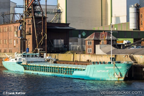
 SNAEFELL RIVER
Current Status
Where is the vessel?
SNAEFELL RIVER is currently in 10 nm SW of Port Logan, based on AIS data received less than 1h ago.
Latest AIS update:
Current position: 54.57537° N, 5.14874° W (10 nm SW of Port Logan)
Average speed (last 7 days): Loading…
Average speed (last 30 days): Loading…
Vessel profile: SNAEFELL RIVER is a General Cargo with dimensions m x m.
This page combines live AIS, route history, probable destination signals, nearby traffic, and port activity for practical vessel monitoring.
The current position of vessel SNAEFELL RIVER is 54.57537 lat / -5.14874 lng. Updated: 2026-04-22 22:01:20 UTCNearest reference points:
- Near Crossgar
- Near Girvan
- Near Turnberry
Currently sailing under the flag of United Kingdom ![]()
Details:
Live Vessel SNAEFELL RIVER Analytics (details, animations, etc.)
Recent AIS points (UTC):
2026-04-22 18:18:58 UTC · 54.61696, -5.91345 · SOG 0 kn · COG 41°2026-04-22 19:31:20 UTC · 54.68621, -5.72055 · SOG 8.9 kn · COG 85°
2026-04-22 19:32:38 UTC · 54.68661, -5.71499 · SOG 9 kn · COG 85°
2026-04-22 22:01:20 UTC · 54.57537, -5.14874 · SOG 7.9 kn · COG 106°