 vesseltracker.com
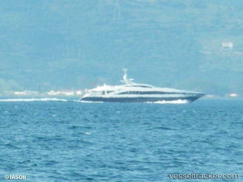
 G Force
Current Status
Where is the vessel?
G Force is currently in Near Tarragona, based on AIS data received less than 1h ago.
Latest AIS update:
Current position: 41.10748° N, 1.24823° E (Near Tarragona)
Average speed (last 7 days): Loading…
Average speed (last 30 days): Loading…
Vessel profile: G Force is a Service Ship with dimensions 37m x 7m.
This page combines live AIS, route history, probable destination signals, nearby traffic, and port activity for practical vessel monitoring.
The current position of vessel G Force is 41.10748 lat / 1.24823 lng. Updated: 2026-04-18 07:55:26 UTCNearest reference points:
- Near Tarragona
- Near Salou
- Near CAMBRILS
Currently sailing under the flag of United Kingdom ![]()
G Force built in 2006 year
Deadweight:
144 tDetails:
Live Vessel G Force Analytics (details, animations, etc.)
Recent AIS points (UTC):
2026-04-18 02:31:28 UTC · 41.10749, 1.24823 · SOG 0.1 kn · COG 292°2026-04-18 04:19:27 UTC · 41.10748, 1.24822 · SOG 0 kn · COG 292°
2026-04-18 06:16:28 UTC · 41.10747, 1.24822 · SOG 0 kn · COG 292°
2026-04-18 07:55:26 UTC · 41.10748, 1.24823 · SOG 0.1 kn · COG 292°