 vesseltracker.com
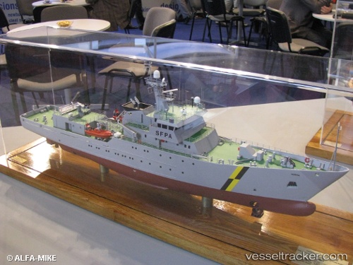
Vessel Hirta IMO: 9386794, MMSI: 235061329 Fishing Support Vessel
UTC, 53.73077, -0.36041, course: 245, speed: 0
UTC, 53.73077, -0.36040, course: 245, speed: 0
2026-03-24 15:40:50 UTC, 53.73083, -0.36033, course: 245, speed: 0
Live Vessel Hirta Analytics (details, animations, etc.)
Live AIS position: UTC. Near Hull), updated 2026-03-24 15:40:50 UTC.Find the position of the vessel Hirta on the map. The latter are known coordinates and path.
marine traffic ship tracker show on live map
The current position of vessel Hirta is 53.73083 lat / -0.36033 lng. Updated: 2026-03-24 15:40:50 UTCCurrently sailing under the flag of United Kingdom
Hirta built in 2007 year
Deadweight:
741 tDetails:
Last coordinates of the vessel:
UTC, 53.73077, -0.36042, course: 245, speed: 0.1UTC, 53.73077, -0.36041, course: 245, speed: 0
UTC, 53.73077, -0.36040, course: 245, speed: 0
2026-03-24 15:40:50 UTC, 53.73083, -0.36033, course: 245, speed: 0