 vesseltracker.com
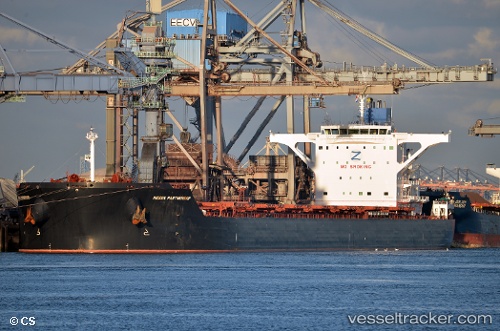
Indian Partnership
Current StatusWhere is the vessel?
Indian Partnership is currently in 50 nm S of Positra, based on AIS data received about 10d ago.
Latest AIS update:
Current position: 21.59887° N, 68.95204° E (50 nm S of Positra)
Average speed (last 7 days): Loading…
Average speed (last 30 days): Loading…
Vessel profile: Indian Partnership is a Ore Carrier with dimensions 45m x 292m.
This page combines live AIS, route history, probable destination signals, nearby traffic, and port activity for practical vessel monitoring.
The current position of vessel Indian Partnership is 21.59887 lat / 68.95204 lng. Updated: 2026-03-20 23:40:11 UTCNearest reference points:
- 49 nm S of Positra
- 54 nm S of Positra
- Near Khambhaliya
Details:
Live Vessel Indian Partnership Analytics (details, animations, etc.)
Recent AIS points (UTC):
2026-03-20 23:40:11 UTC · 21.59887, 68.95204 · SOG 13.6 kn · COG -1°